
Accurate Land Data Helps You Plan Smarter and Build With Fewer Surprises
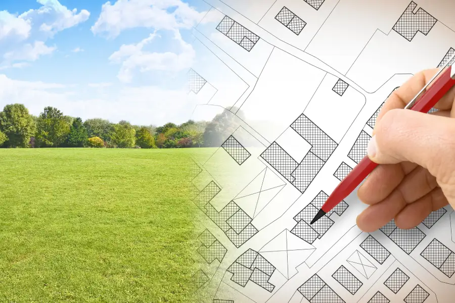
A topographic survey supports site planning by mapping the land’s shape, elevation, and features before design begins. It shows slopes, drainage paths, trees, utilities, and structures. With this data, builders and engineers can place buildings, roads, and drainage systems in the right spots. This step reduces delays, redesigns, and costly field changes later.
What you need before starting
Before ordering a topographic survey, gather basic property details. Clear information helps the surveying team work faster and capture the right data.
- Property address and parcel number
- Copy of the deed or boundary survey if available
- Project goals, such as new construction or expansion
- Any past plans or drawings for the site
- Access details like locked gates or site hazards
It also helps to explain the type of land surveying service you need. Some projects require extra mapping of utilities or nearby road elevations. Clear goals lead to better results.
Step-by-step: How the process supports planning
Site planning depends on good data. Here is how a typical process works.
- Site visit and data collection. The crew uses GPS and total stations to measure ground points across the property. They record elevations, trees, buildings, curbs, and visible utilities.
- Elevation mapping. Measured points are turned into contour lines. These lines show high and low areas on the land.
- Feature location. Existing features like fences, driveways, and drainage structures are mapped.
- Drafting the plan. The data is processed into a clear drawing that engineers and architects can use.
- Design integration. Designers use the survey to place structures, plan grading, and design stormwater flow.
Each step builds on the last. Without accurate elevation data, drainage plans may fail. Without mapped features, new work may conflict with what is already built.
Common mistakes to avoid
Many problems during construction start with skipped steps or bad information. Avoid these common issues when planning a project.
- Using outdated survey data
- Failing to request enough detail for large sites
- Ignoring elevation changes across the property
- Starting design before survey results are ready
For example, a site that looks flat may have subtle slopes. Those small grade changes affect drainage and foundation height. A current topographic survey helps catch these details early.

Why elevation and drainage data matter
Water is one of the biggest concerns on any building site. When rain falls, it follows the natural slope of the land. If the slope is not studied, water can pool near foundations or flow toward nearby properties.
With elevation data, engineers can:
- Design proper grading plans
- Set finished floor heights above flood risk levels
- Plan safe driveway slopes
- Protect nearby properties from runoff
This planning helps avoid erosion, water damage, and permit issues. It also makes the final site safer and more functional.
When to call a professional
Small landscaping jobs may not need detailed mapping. However, most construction, additions, parking lot builds, and land development projects do. If the project involves permits, drainage changes, or new structures, professional surveying is the smart choice.
An experienced team knows how to collect clean data and format it for engineers and architects. They also understand local requirements, which helps move the approval process along smoothly.
Ready to plan your project with confidence?
If you are planning construction in Katy, TX, we are here to help with reliable mapping and clear results. At Hawkland Consultant Inc., our team provides detailed topographic survey services tailored to your project goals. Call (713) 325-0015 to speak with us about your site and schedule your survey so we can help you move forward with accurate data and fewer surprises.